
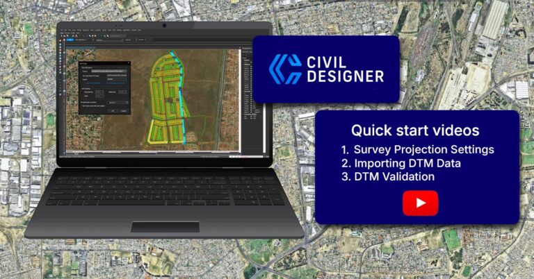
Civil Designer’s Point Grid function
Civil Designer helps you get your project underway quickly with flexible terrain data options relevant to your design phase: – Azure Maps & OpenTopography: Civil Designer’s Point Grid function allows you to fetch background imagery via Azure Maps and interpolate terrain elevation heights directly from OpenTopography global data. – GeoSmart Integration: Access high-resolution terrain intelligence…


