Civil Designer Time-saving features
Civil Designer’s powerful water engineering modules provide precision analysis and design tools for safer, more efficient infrastructure. With time-simulated water quality analysis, you can calculate chemical dosages (such as chlorine), identify top-up point requirements, determine water age at any point in the network, and trace water flow through the system.
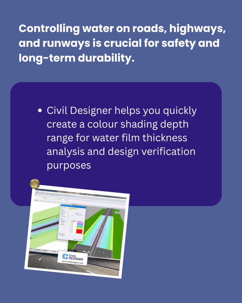
Civil Designer allows you to generate colour-shaded depth maps to analyse water film thickness ranges and verify your designs with ease.
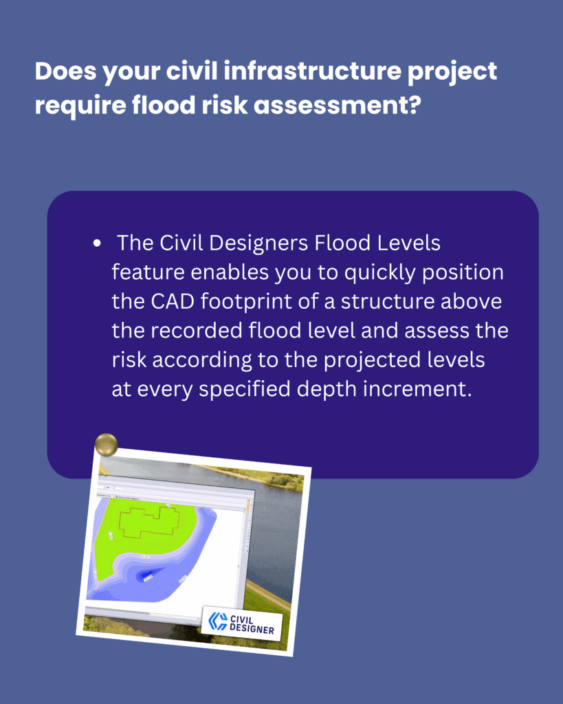
For projects requiring flood risk assessment, the Flood Levels feature enables quick CAD footprint positioning above recorded flood levels. It calculates risk according to projected water levels at specified depth increments.
Optimise your civil engineering projects with industry-leading hydraulic modelling, drainage design, and flood assessment tools — all within Civil Designer.